7 Autumn Hikes in Baden-Württemberg

A Golden Glow
28.9.20267 min. read timeby Hirsch & Greif
Discover the most beautiful autumn hikes in Baden-Württemberg. There’s a route to suit every level of ability.

7 Scenic Autumn Hiking Trails in Baden-Württemberg

Autumn Is Calling
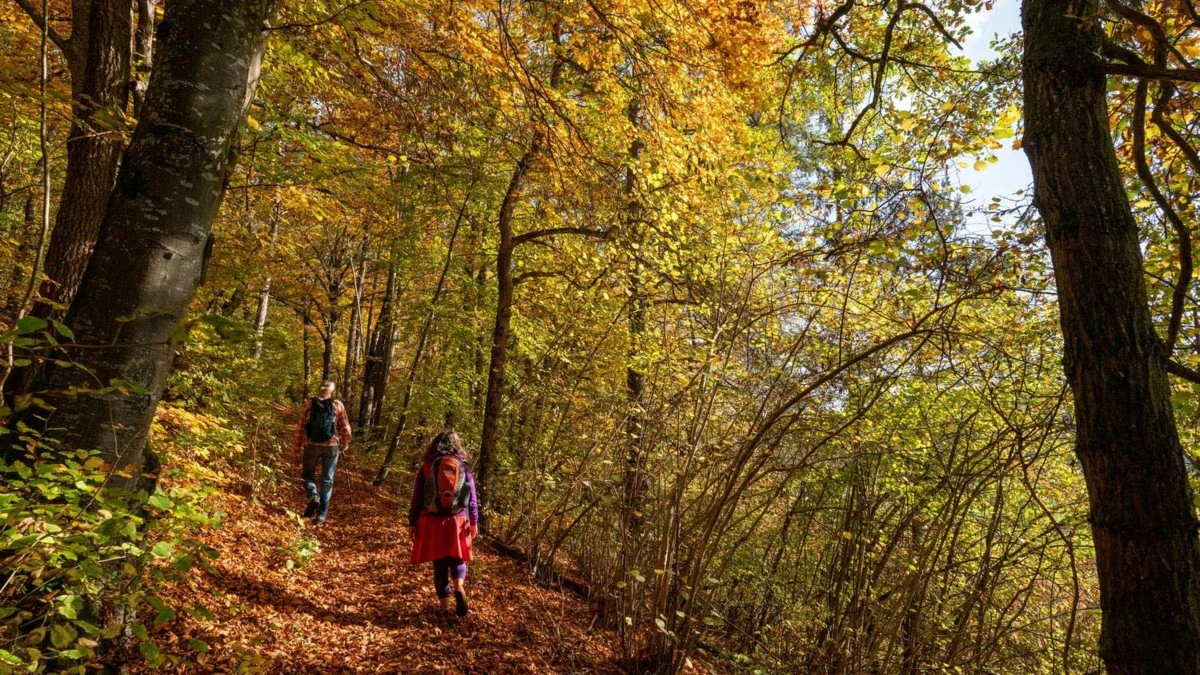
Colourful forests, crisp air and ideal walking temperatures make autumn the perfect season for active days out in Baden-Württemberg. From premium hiking trails in the Black Forest and scenic routes in the Swabian Alb to varied circular walks around Lake Constance, these seven walks lead through some of Baden-Württemberg’s most beautiful autumn landscapes and offer memorable nature experiences with exceptional views.

#1 Genießerpfad Durbacher Weinpanorama Trail

High Above the Ortenau

At a Glance

Difficulty: ModerateDistance: 15.3 kilometresDuration: 5 hoursStart/finish: Festplatz Durbach (festival grounds)
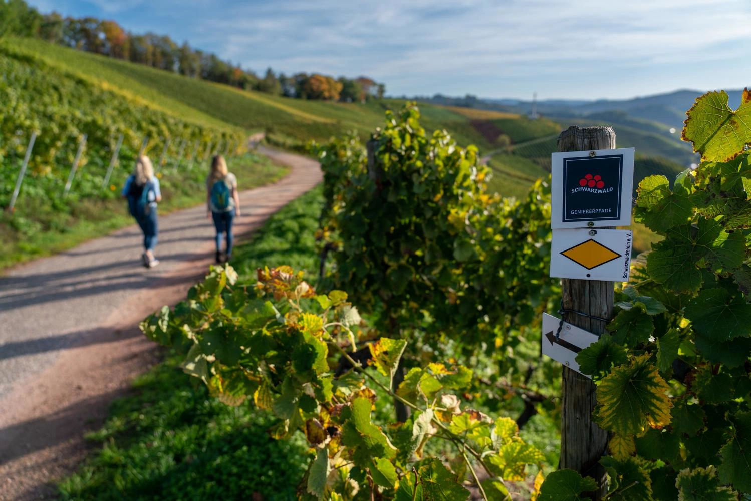
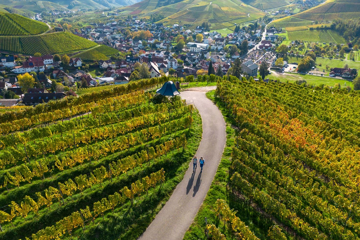
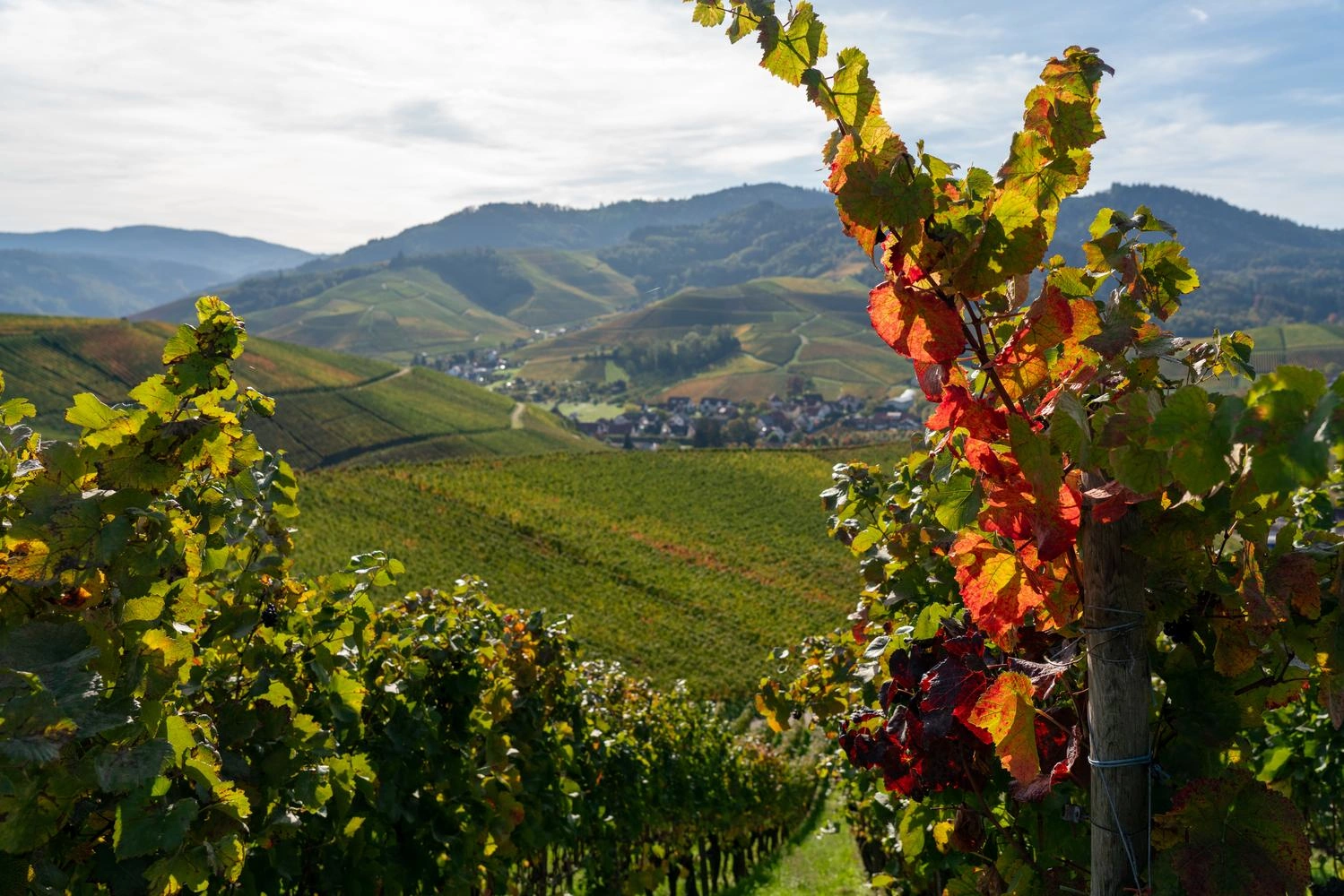
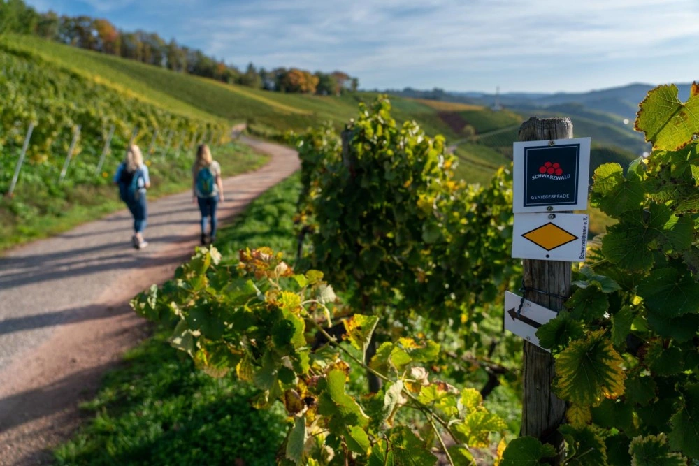
The moderately Genießerpfad Durbacher Weinpanorama premium hiking trail offers breathtaking panoramic views amid charming scenery. Durbach, Baden’s most highly awarded wine-growing community, cultivates outstanding Riesling and Pinot wines across 460 hectares of vineyards. The 15-kilometre walk leads through deep forests and along narrow vineyard lanes, past sun-drenched vinesbathed in sunlight and glowing yellow and red in autumn on the way to numerous viewpoints. Stop for a rest at the ruins of St Anton’s Chapel or enjoy a refreshing glass of wine at the Schloss Staufenberg winery while taking in the sweeping views across the valley.
Discover the Durbacher Weinpanorama Trail
View of the hiking trail, two women walking in the background, the trail marker is in the foreground.
 View from above of the idyllic hiking trail, the vines have autumn leaves.
 Close-up of a vine with a panoramic view in the background.
An award-winning premium hiking trail
The Genießerpfad Durbacher Weinpanorama is an award-winning trail, easily recognised by its distinctive waymarking.
1 / 3

#2 Genießerpfad Belchensteig Trail

A Trail with Panoramic Views

At a Glance

Difficulty: ChallengingDistance: 15 kilometresDuration: 6 hoursStart/finish: Wiedener Eck car park
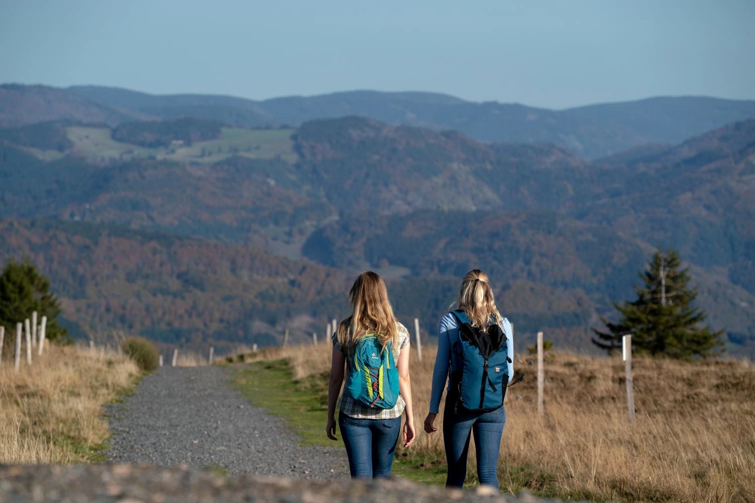
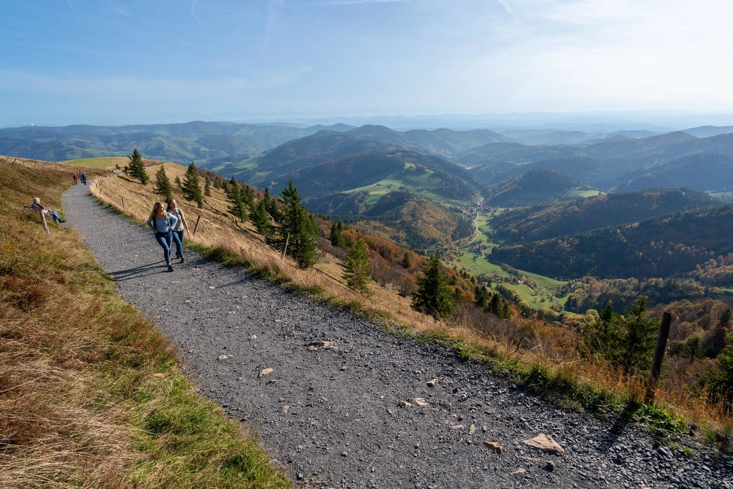
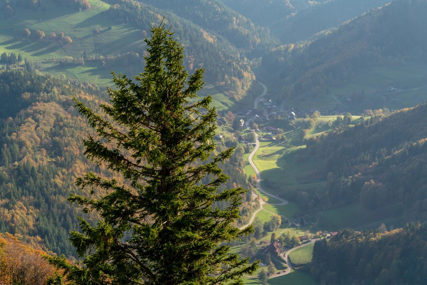
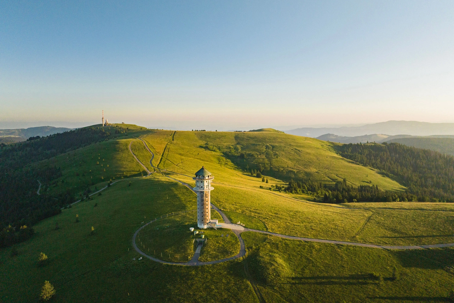
Belchen, the third-highest mountain in the Black Forest, attracts numerous visitors with its spectacular 360-degree views. In good weather – and with a little luck – you can even see the Zugspitze, 240 kilometres away. The 15-kilometre Genießerpfad Belchensteig trail takes experienced hikers up Belchen and back down again. It was named Germany’s most beautiful hiking trail in 2020 – and deservedly so.After crossing magnificent high plateaux and tackling steep sections on the way to the summit, hikers are rewarded with glorious views of the surrounding landscape. This is particularly special in autumn, when the nearby mixed deciduous forests glow red and yellow. Those who find the climb too challenging can simply take the cable car to the top and still enjoy the exceptional views from above.
Discover the Genießerpfad Belchensteig Trail
Two people with hiking rucksacks are walking along a hiking trail. A mountain panorama can be seen in the distance.
 Two people on a hiking trail with a fantastic panorama to the left.
 View of a fir tree in the foreground and a wide valley in the background.
Up and down again
The 15-kilometre Genießerpfad Belchensteig trail takes experienced hikers up Belchen and back down again.
1 / 3

#3 Donaufelsengarten Circular Trail

Explore a Side Valley of the Danube

At a Glance

Difficulty: ModerateDistance: 8.5 kilometresDuration: 3.5 hoursStart/finish: Hofstättle car park near Gutenstein
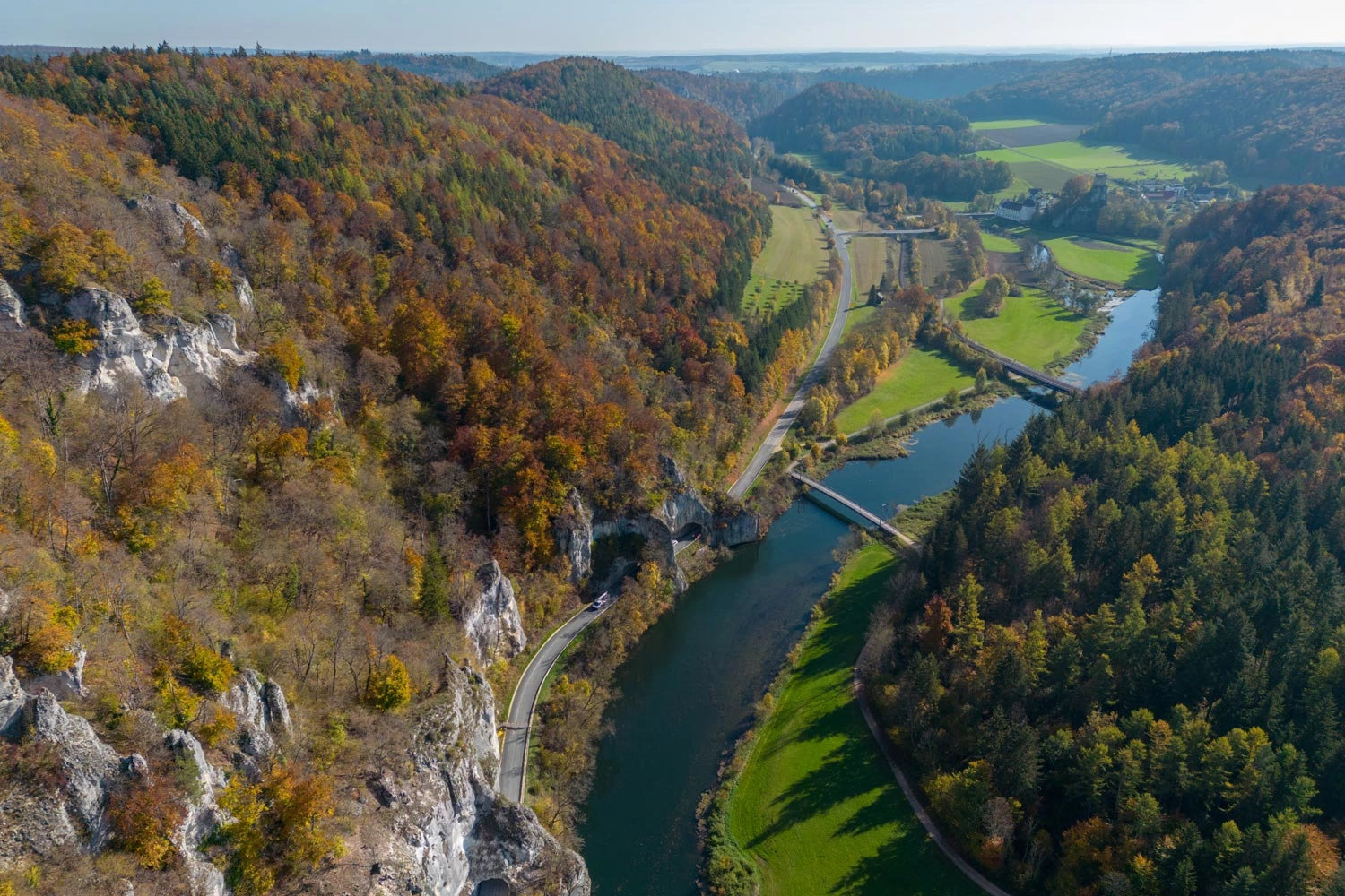
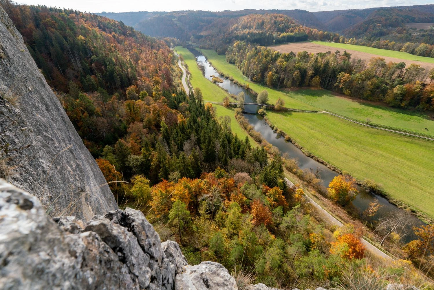
The 8.5-kilometre Donaufelsengarten circular trail takes hikers through the Danube Valley in the south-western Swabian Alb. Following narrow, unspoilt paths through open mixed beech forests, you will discover wonderful viewpoints such as the Teufelsloch and Rabenfelsen rock formations. Their sheer cliffs make these viewpoints particularly spectacular – and a real test of nerve for anyone without a head for heights.The trail is especially beautiful in autumn, when the green valley and its coniferous forests contrast with the hills around the Teufelsloch, ablaze with shades of red and yellow. If you still have time and energy after this half-day hike, round off your day in one of the nearby towns or villages in the Danube Valley – perhaps with a visit to Sigmaringen Castle.
Discover the Donaufelsengarten Trail
 View of the Danube from far above, surrounded by autumnal forest.
In the foreground is the rock face, behind it the view opens up over a wide valley through which the Danube flows.
A stunning view of the Danube Valley
Hikers can enjoy this view from the Teufelslochfelsen viewpoint near Gutenstein in the Donaubergland region.
1 / 3

#4 hochgehadelt Trail: Climbing the Swabian Alb

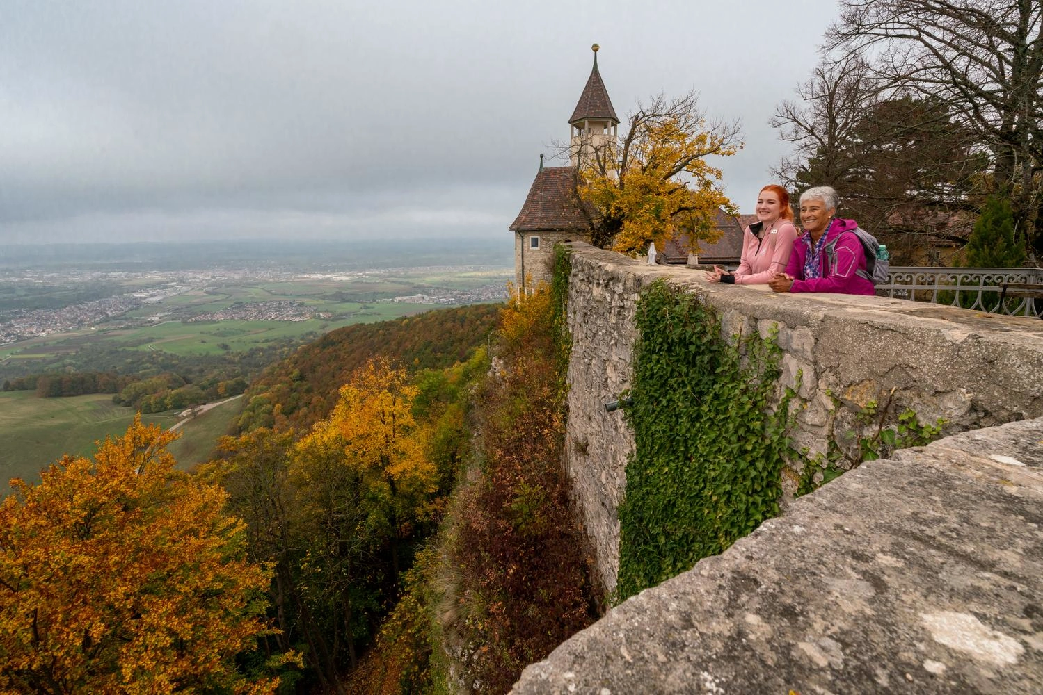
Premium Hiking Trail Along the Albtrauf Escarpment

At a Glance

Difficulty: ModerateDistance: 12.9 kilometresDuration: 4.5 hoursStart/finish: Hörnle hikers’ car park
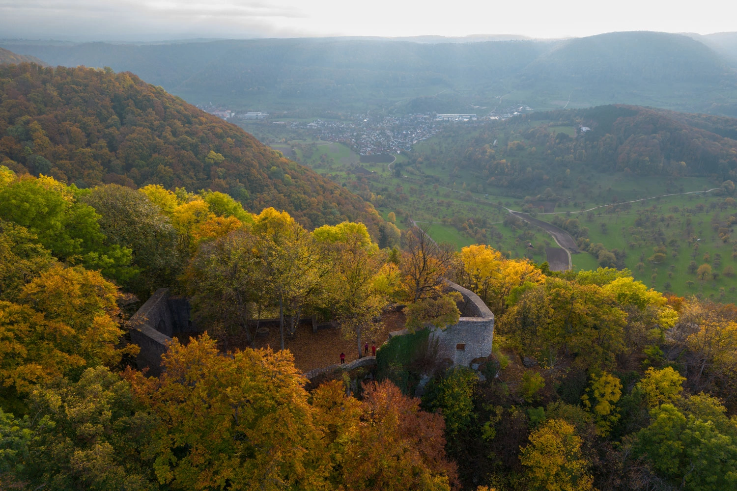
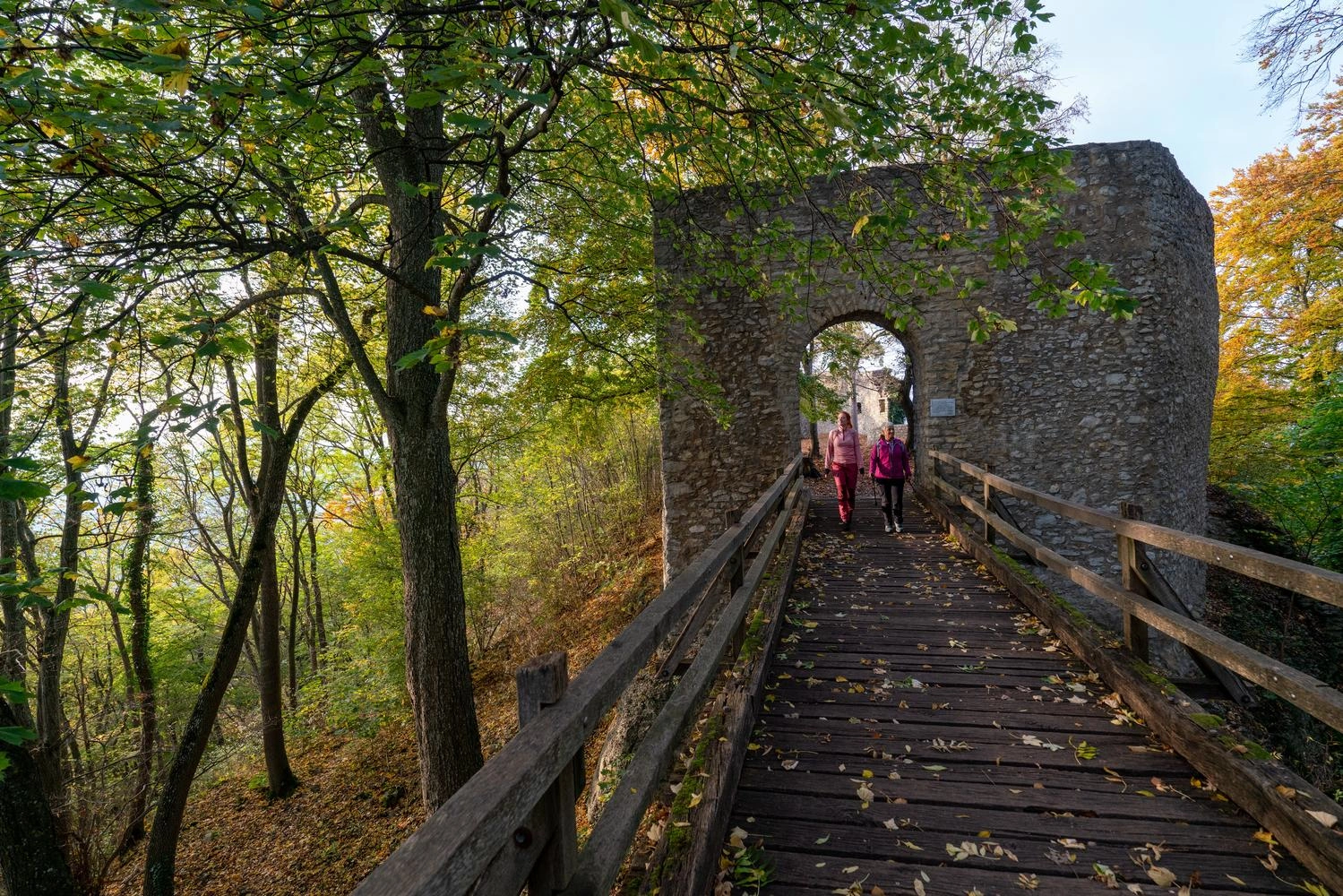
The 200-kilometre-long Albtrauf escarpment separates the high plateau of the Swabian Alb from its foothills and reaches a height of 1,000 metres in places. Explore this impressive and moderately challenging landscape on the 12.9-kilometre hochgehadelt premium hiking trail.Sweeping views across the Alb foothills await before the hike has even begun. The route then follows the Albtrauf through limestone beech forests to the Gelber Fels viewpoint. From there, it winds its way up to the Swabian Alb plateau and the ruins of a former robber barons’ castle. The final section descends to the foot of the Swabian Alb before leading through traditional orchard meadows and back to the starting point.meadows.
Explore the hochgehadelt Trail
 Ruin hidden in the colorful autumn forest.
Wooden bridge in the forest covered with leaves.
View of Teck Castle, which lies above the Swabian Alb. Autumn trees surround the castle.
Rauber Castle ruins near Lenningen in the Swabian Alb
The ruins are located along the hochgehadelt Trail.
1 / 3

#5 GuckinsLand Circular Trail Near Lake Constance

A Trail That Lives Up to Its Name

At a Glance

Difficulty: ModerateDistance: 14.75 kilometresDuration: 4.5 hoursStart/finish: Schweppen hikers’ car park
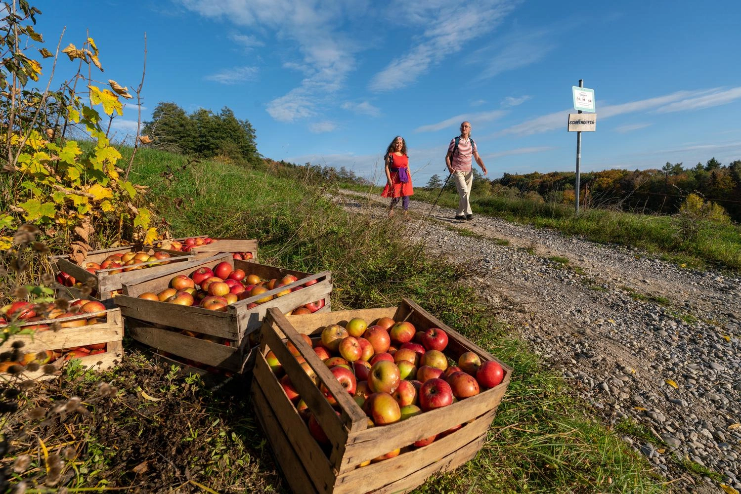
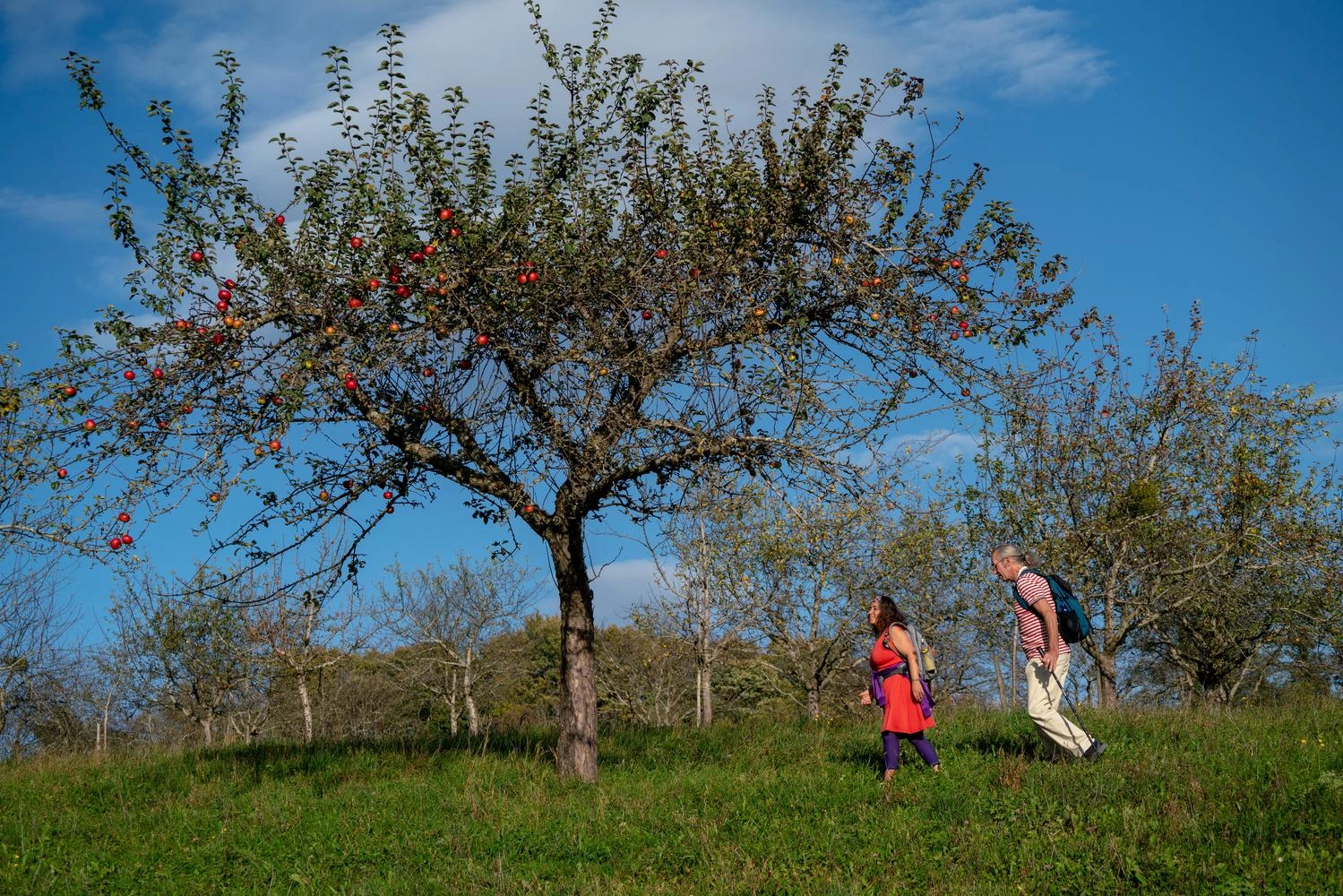
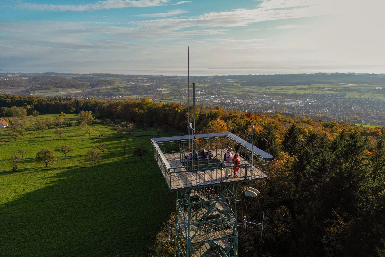
There is plenty to discover in the region away from the lake too. Over the course of almost 15 kilometres, the trail follows picturesque woodland paths, crosses numerous clearings and offers breathtaking views. In clear weather, the Gehrenbergturm, a 30-metre-high observation tower along the route, offers views of Mainau Island as well as the Bavarian, Austrian and Swiss Alps. Just beyond the tower, the trail reaches the so-called Rutsche, which adds a little thrill to the hike. The edge of the 30-metre drop is unfenced, so caution is advised. Woodland paths then lead to the Linzgaublick viewpoint, where a reclining swing provides the perfect place to sit back and enjoy the scenery. After the hike, those with time to spare can enjoy a leisurely stroll around the town of Markdorf.
Discover the GuckinsLand Circular Trail
 In the foreground are wooden crates with apples. In the background, people on a hiking trail can be seen out of focus.
 Two people walk under an apple tree.
 View from a lookout tower over a wide valley.
More than just a hike
The GuckinsLand premium hiking trail at Lake Constance is an experience for all the senses.
1 / 3

#6 Herrenbachtal Trail Near Göppingen

Accessible Walk Around the Lake

At a Glance

Difficulty: EasyDistance: 6.26 kilometresDuration: 1 hour 55 minutesStart/finish: Unterberken hikers’ car park
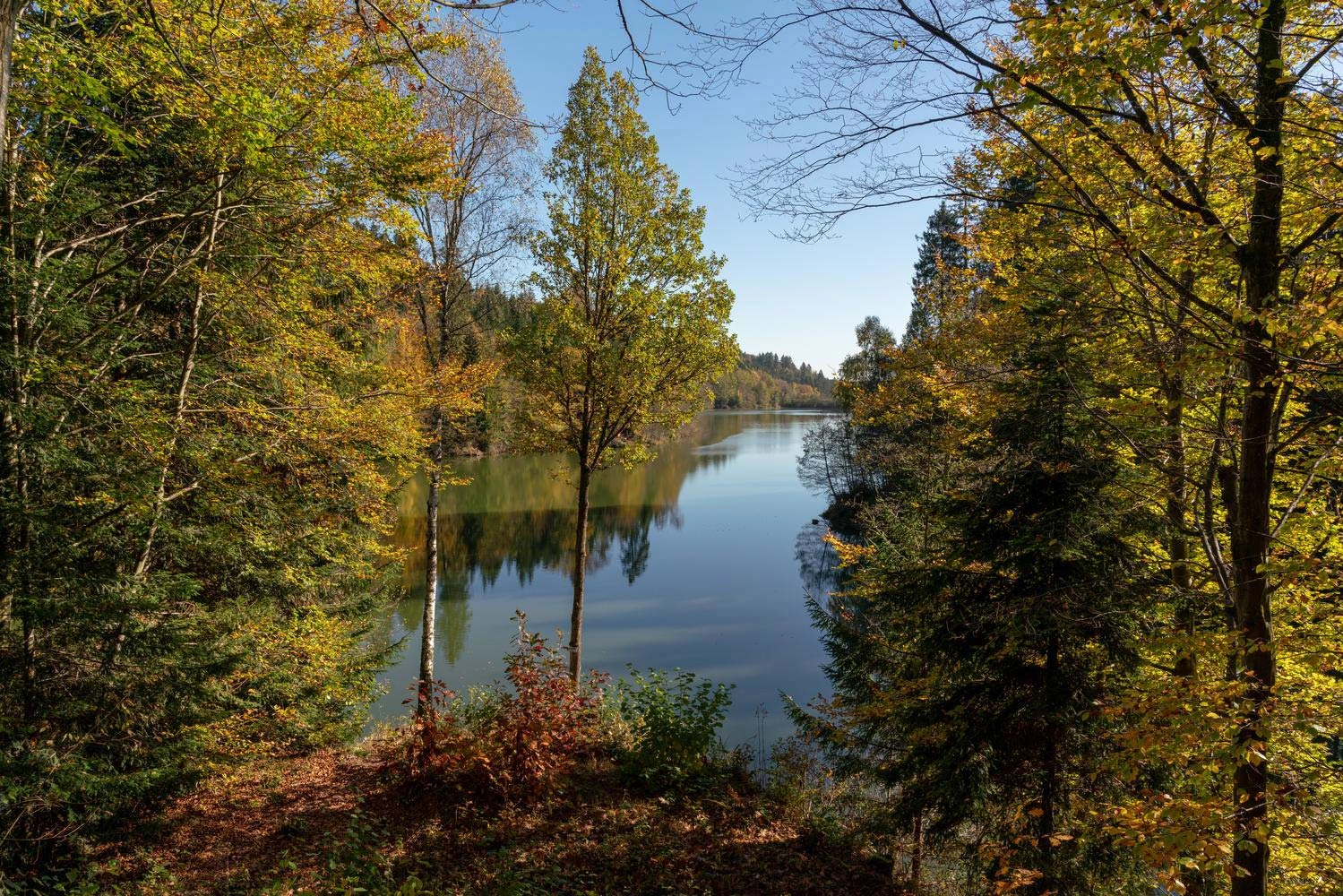
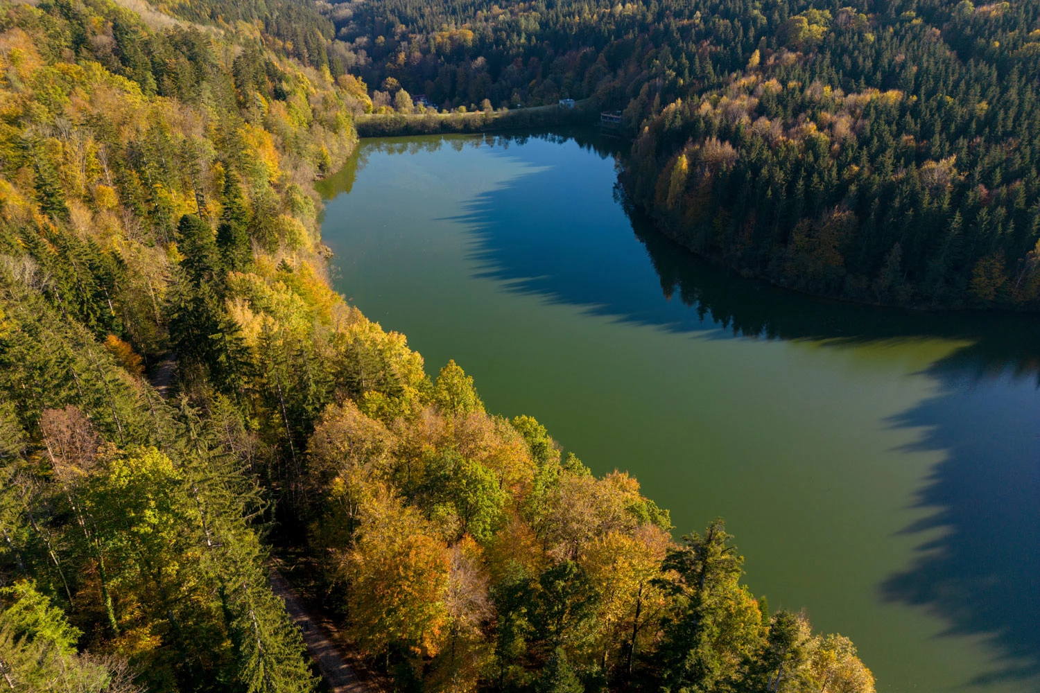
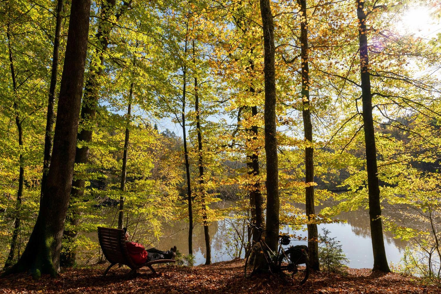
The Herrenbachtal-Weg is an easy, accessible circular trail around Herrenbach-Stausee, a reservoir in the wooded valley between Schorndorf and Göppingen. The lake is particularly atmospheric in autumn, surrounded by colourful woodland. If you fancy stopping for something to eat, walk around the lake clockwise: you will soon reach the Herrenmühle inn, which is a great choice for regional dishes.A family-friendly forest discovery trail circles the lake, with twelve activity stations where children can learn about local plants and animals. Culture enthusiasts can also take a detour to Adelberg Monastery, built in 1178 and home to the impressive St Ulrich’s Chapel.
Discover the Herrenbachtal-Weg Near Göppingen
View through an autumnal forest to a lake.
 Aerial view of a reservoir surrounded by autumnal forest.
 View of water through autumn trees. There is a lounger on the shore of the lake where a cyclist is taking a break.
Circular trail around a reservoir
The easy and accessible Herrenbachtal-Weg runs between Schorndorf and Göppingen.
1 / 3

#7 Bühlertal Circular Trail

Herbs and Berries Along the Trail

At a Glance

Difficulty: EasyDistance: 12 kilometresDuration: 3 hours 15 minutesStart/finish: Vellberg
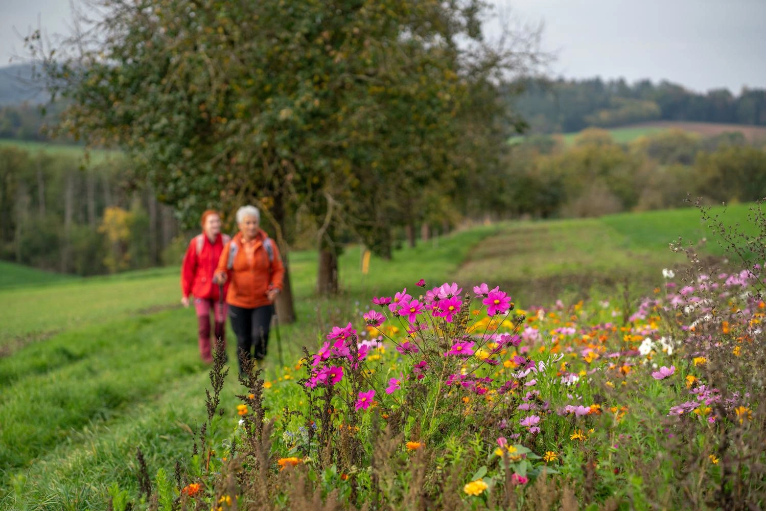
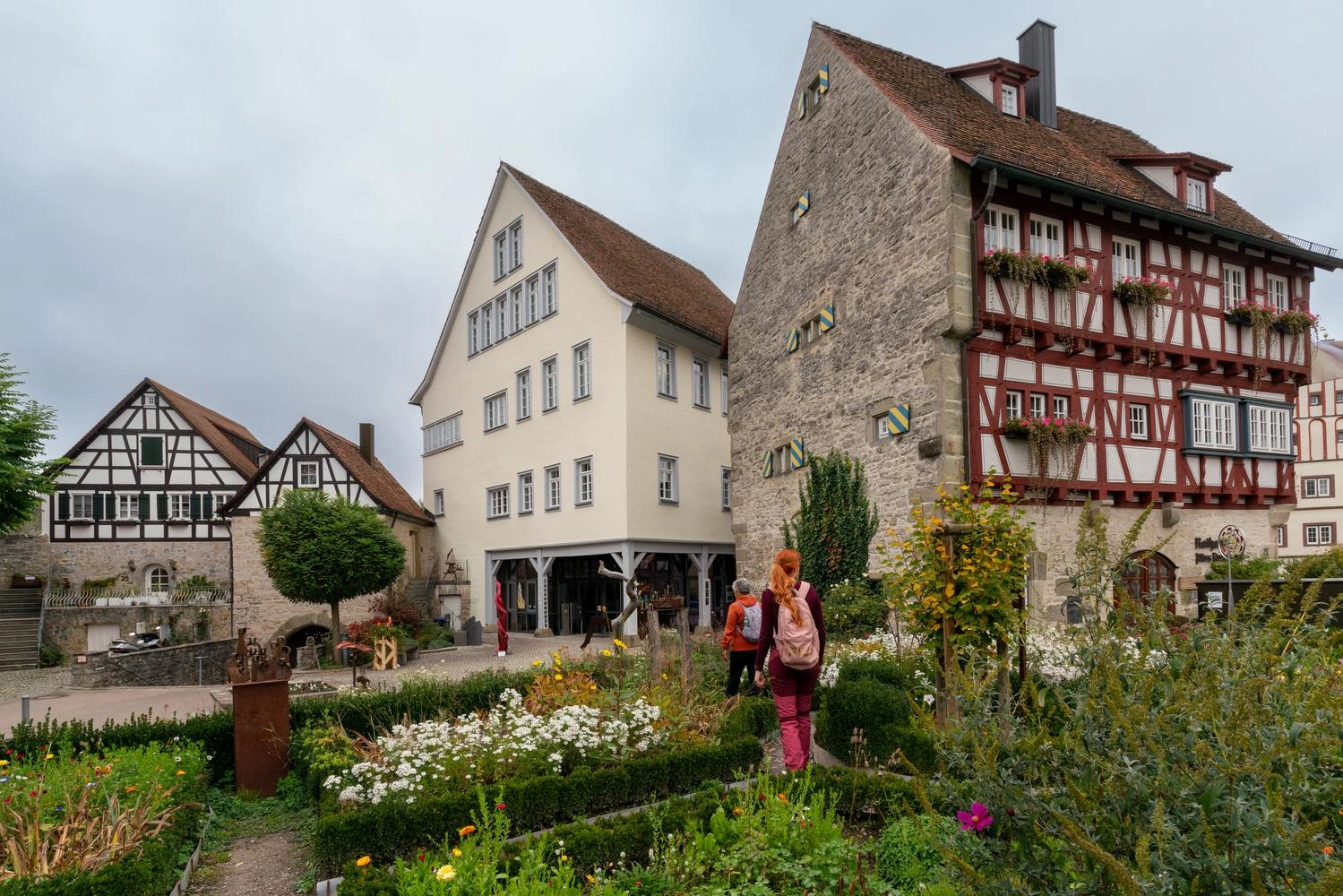
The Hohenlohe Plain lies in north-eastern Baden-Württemberg, between the Bauland region, the Frankenhöhe uplands and the Swabian-Franconian Forest. Narrow valleys carved out by the Tauber, Jagst and Kocher Rivers and their tributaries criss-cross the region. One of these tributaries is the Bühler River. On its course, the Bühler passes Vellberg, an officially recognised health resort and the start and finish of this hike.This easy, 12-kilometre circular trail repeatedly enters the neighbouring nature reserve, which is home to many rare species of beetle and bird. Information boards along the themed trail offer fascinating insights into the local flora and fauna. Before or after the hike, it is well worth exploring the 500-year-old town of Vellberg, with its beautifully restored old town and the Unteres Schloss, the town’s historic castle.
Discover the Bühlertal Circular Trail
 Two female hikers look at colorful flowers growing along the path in the foreground.
 Flowers bloom and herbs grow in large beds on the market square in front of the town hall.
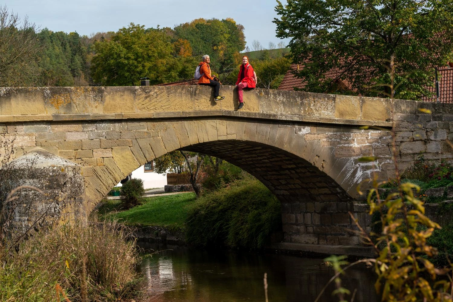
 Two hikers take a break and sit on a stone bridge in the evening sun.
Kräuter & Beeren am Wegesrand circular trail
The trail leads through the Bühler Valley near Vellberg in the Hohenlohe region.
1 / 3

Hiking Trails for Colourful Autumn Days

Find Your Next Favourite Trail in Baden-Württemberg

Filter results

Show 5 Experiences

More Ideas for Active Getaways

Discover Nature, Culinary Delights and Unique Experiences in Baden-Württemberg
  • Car-Free Holidays in Baden-Württemberg

    Experience Nature, Leave the Car Behind
    NatureHiking
  • Hiking and Cycling Trails in Baden-Württemberg

    Find Your Way with the Tour Planner
  • 7 Summit Hikes in Baden-Württemberg

    The 7 Summits of Southwest Germany
    NatureHiking
  • Donauberglandweg Trail and Albtraufgänger Trail

    Beautiful Hikes in the Swabian Alb
    NatureHiking
  • Flavour-Filled Autumn Days Out in Baden-Württemberg

    Colourful Leaves and Ripe Fruit
    TasteDiscover regional products
  • Pilgrimage Trails in Baden-Württemberg

    Pilgrimage between Nature, Tranquillity and Reflection
    NatureHiking
6 / 6

Car-Free Holidays in Baden-Württemberg

Experience Nature, Leave the Car Behind
NatureHiking

Hiking and Cycling Trails in Baden-Württemberg

Find Your Way with the Tour Planner

7 Summit Hikes in Baden-Württemberg

The 7 Summits of Southwest Germany
NatureHiking

Donauberglandweg Trail and Albtraufgänger Trail

Beautiful Hikes in the Swabian Alb
NatureHiking

Flavour-Filled Autumn Days Out in Baden-Württemberg

Colourful Leaves and Ripe Fruit
TasteDiscover regional products

Pilgrimage Trails in Baden-Württemberg

Pilgrimage between Nature, Tranquillity and Reflection
NatureHiking